


5,3 km | 10,6 km-effort

Usuario


Aplicación GPS de excursión GRATIS
 SityTrail
IGN / Institutos geográficos
SityTrail World
El mundo es suyo
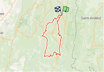
Ruta Senderismo de 56 km a descubrir en Auvergne-Rhône-Alpes, Drôme, La Chapelle-en-Vercors. Esta ruta ha sido propuesta por tracegps.
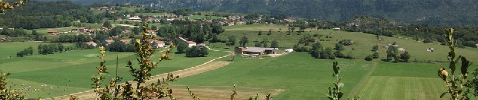
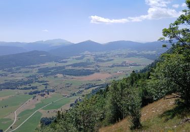
Une boucle dans le Vercors en trois jours à raison d'environ 8 h de marche par jour. La deuxième journée entre le Col de Rousset et Font d'Urles est très belle car une grande partie du parcours se fait sur les crêtes.


Senderismo

Senderismo
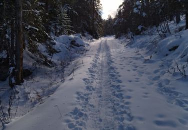
Raquetas de nieve

Senderismo

Senderismo
Senderismo
Senderismo
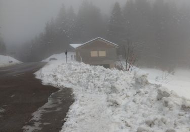
Raquetas de nieve
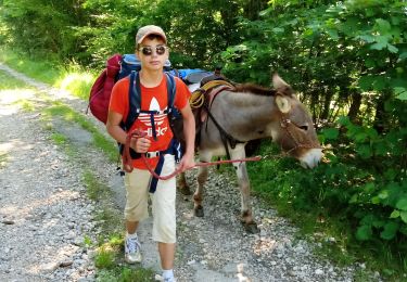
Senderismo